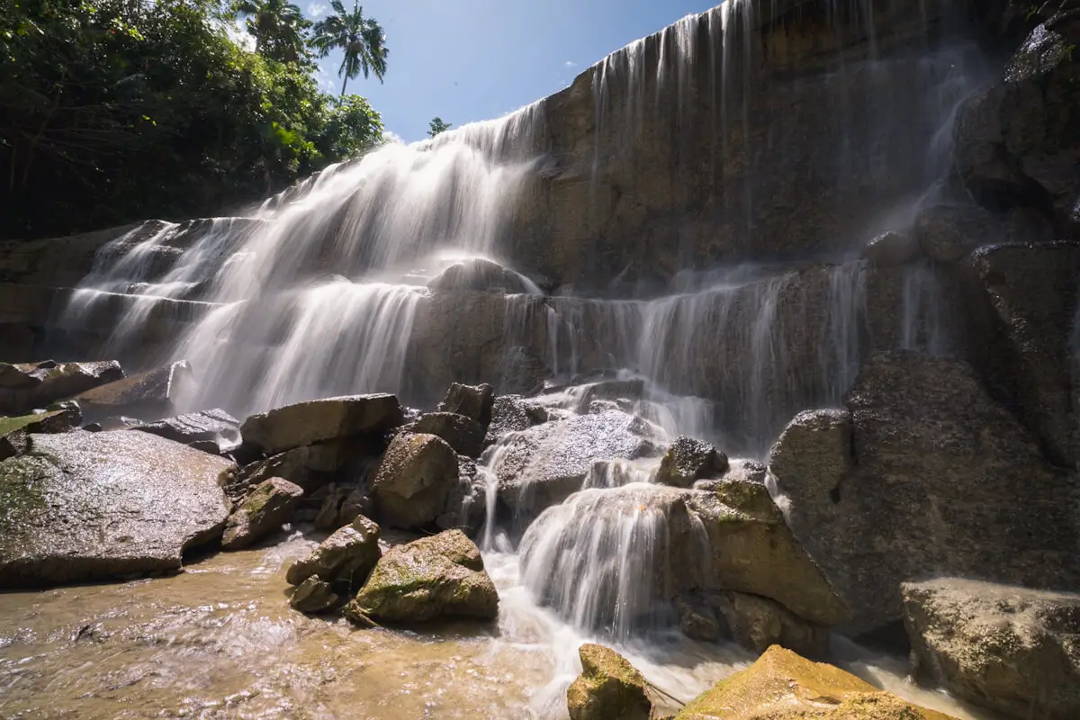
Cambanog Falls is a mostly unknown waterfall in the highlands of Ronda, Cebu that can easily be visited in conjunction with nearby Lusno Falls.
Cebu is known for a dozen or so incredible waterfalls that have become popular tourist spots, complete with lots of signage, concrete steps, and mandatory life jackets and helmets, there’s also an indefinable number of hidden and off-the-beaten-track waterfalls waiting to be discovered. Cambanog Falls north of Moalboal is one of these ones.
Existing directions to Cambanog Falls were limited, so it took some bumbling around and going the wrong way a few times to figure out this route to the falls, which starts from very near the trailhead for Lusno Falls, making the two waterfalls an ideal double-header.
Continue reading this blog post for all the necessary information to visit Cambanog Falls for yourself. I’ve shared where to find it, how to get there, the entrance fee, and more.
About Cambanog Falls
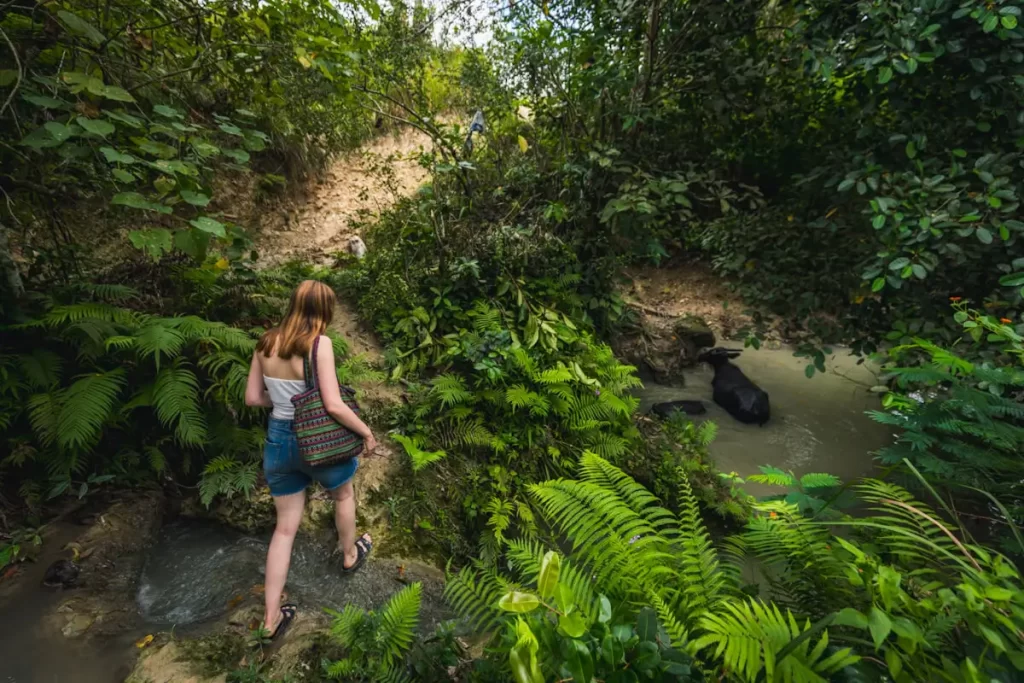
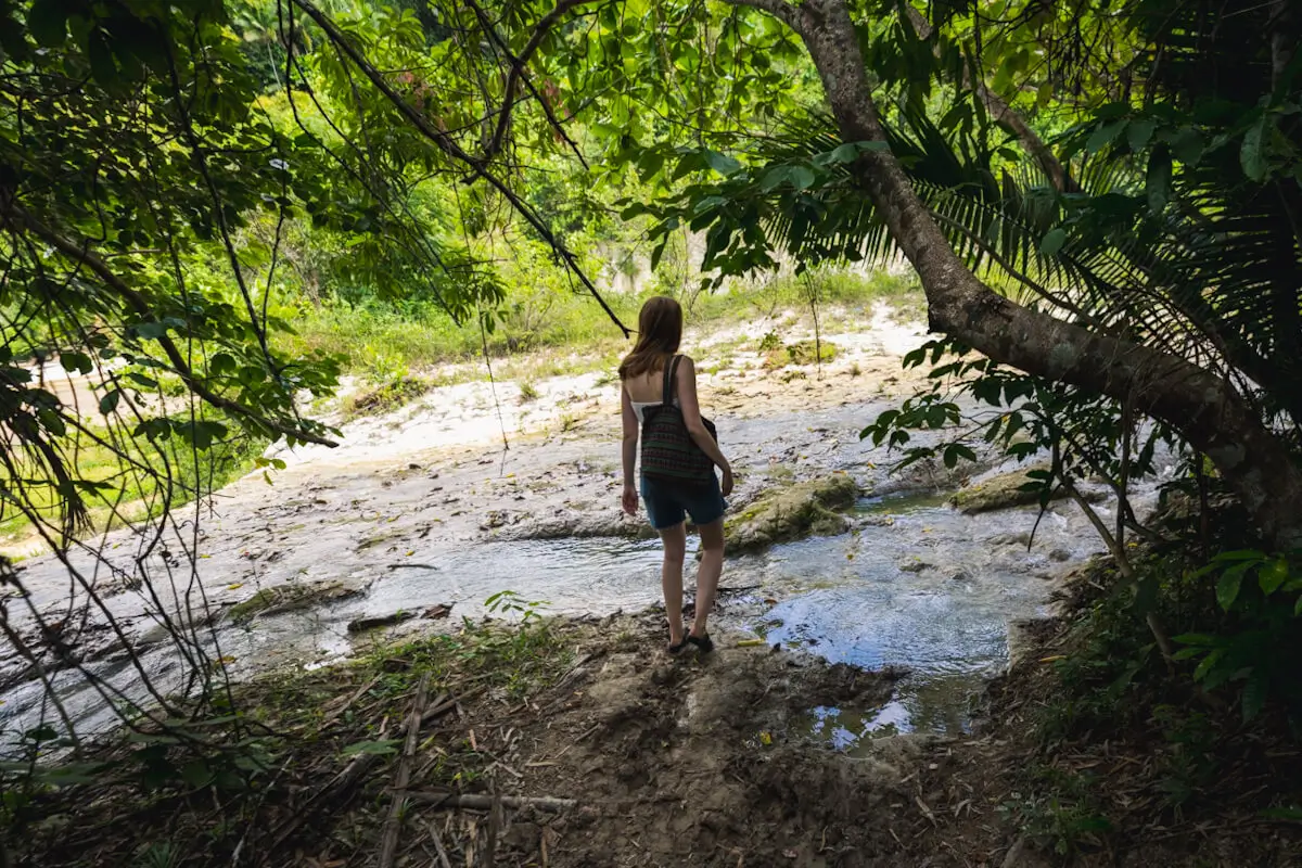
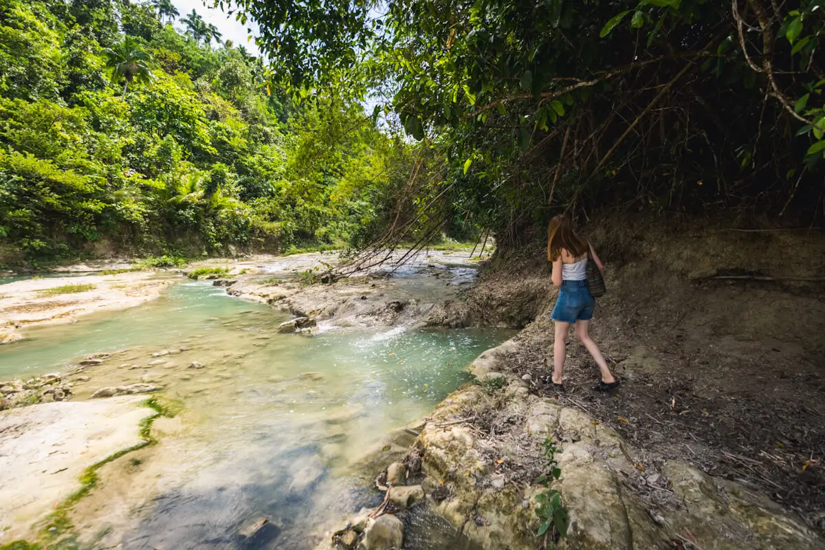
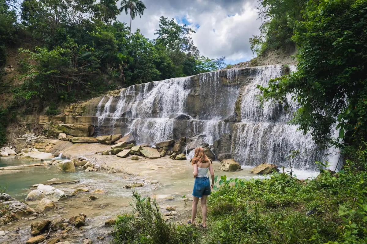
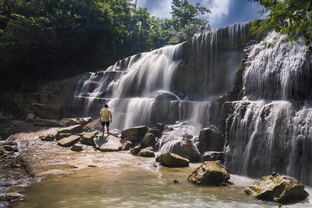
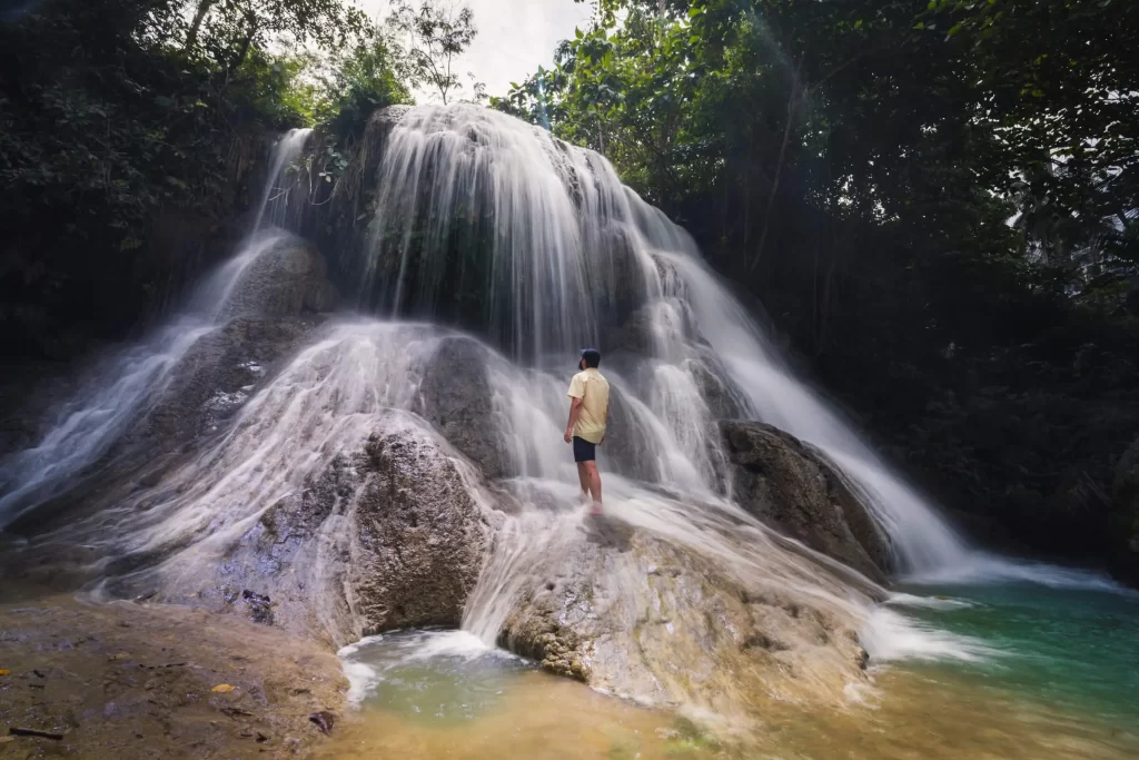
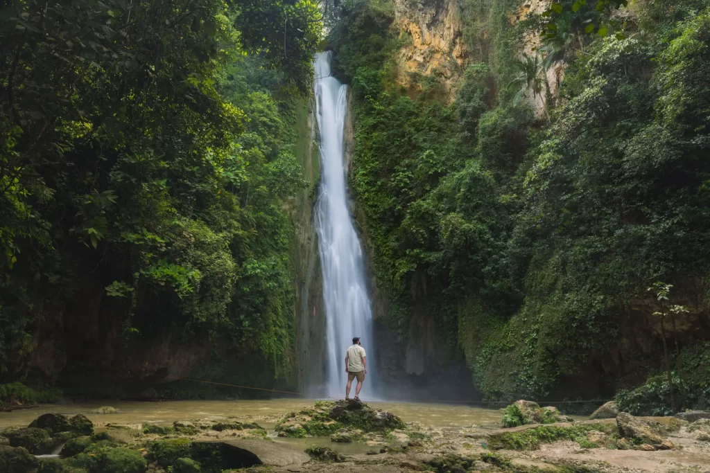
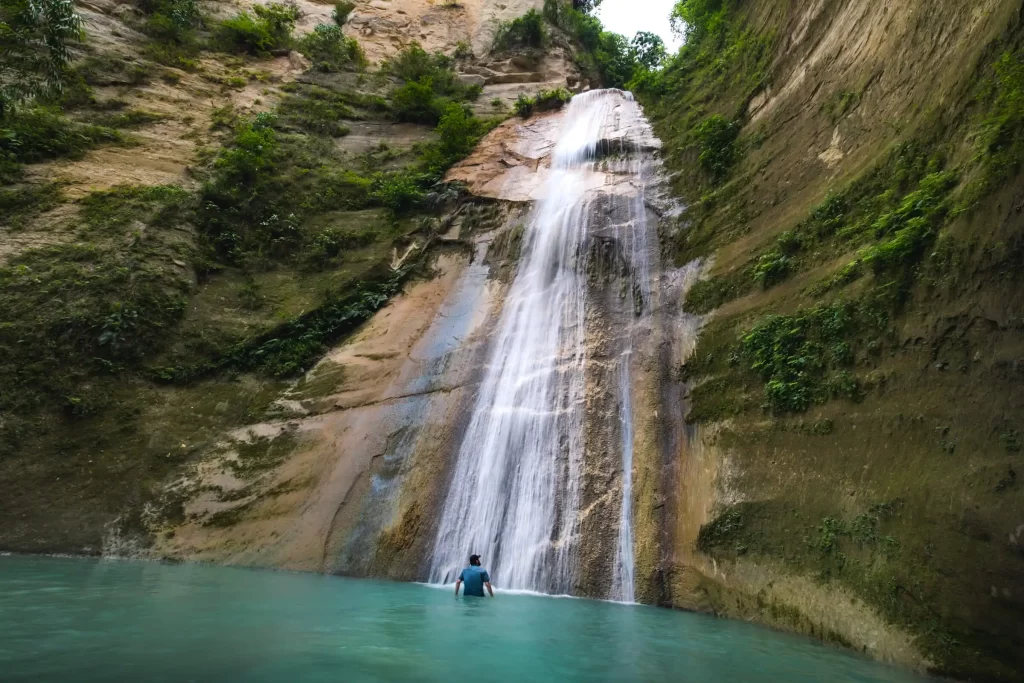
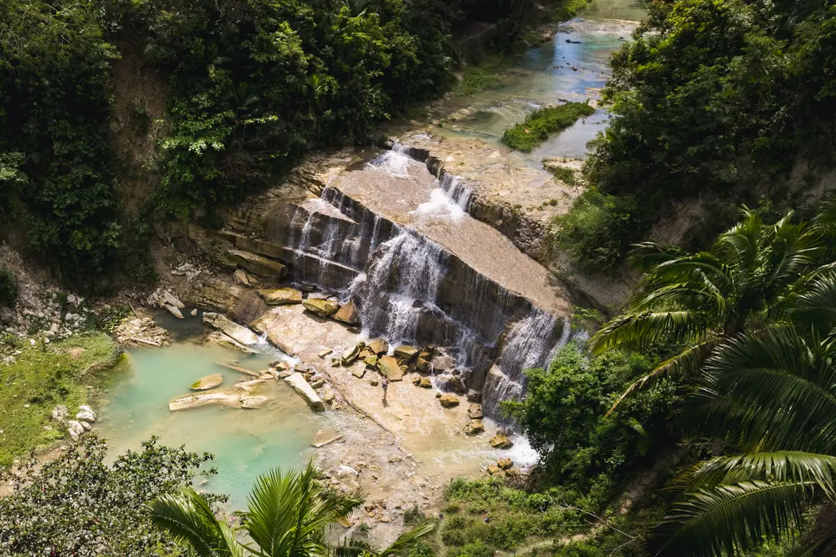
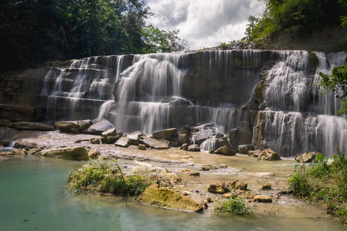
Cambanog Falls is a wide blocky waterfall that features a very shallow base, meaning it’s possible to directly approach the falls and walk all around, which is pretty unique. Most of the rocks aren’t very slippery, but a couple specific areas are so be careful,
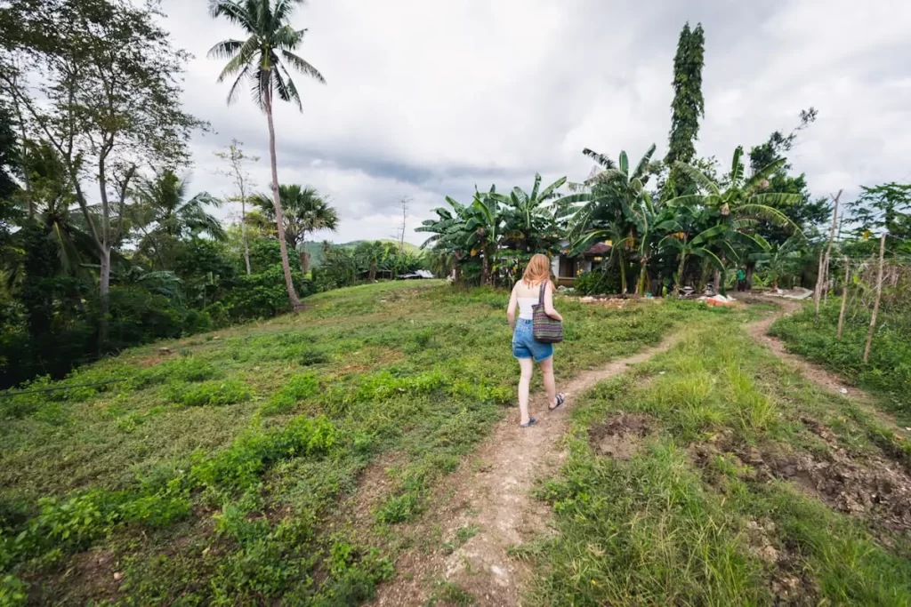
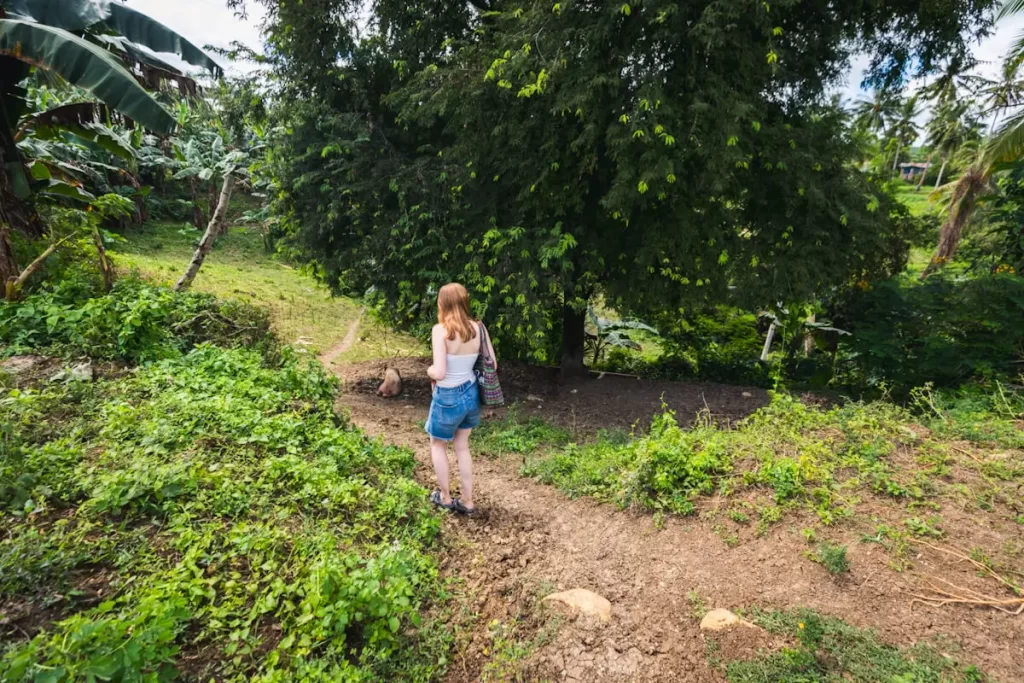
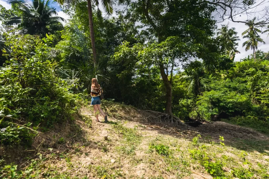
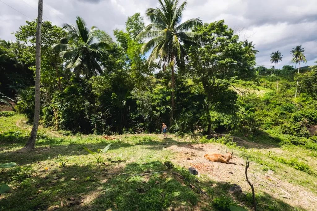
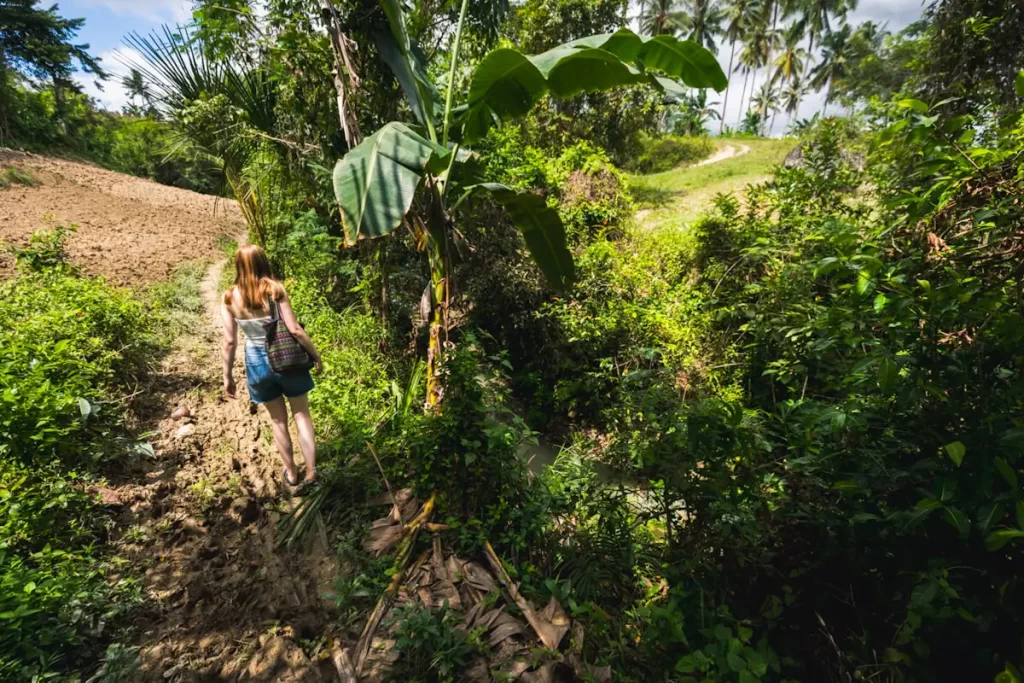
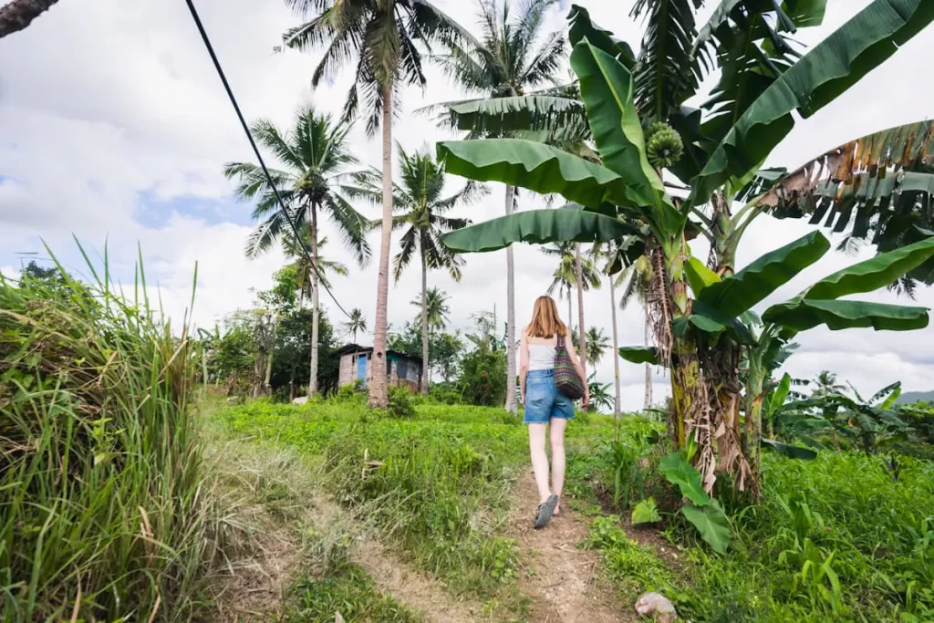
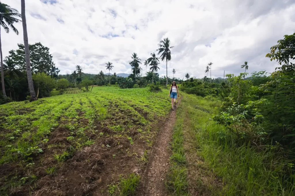
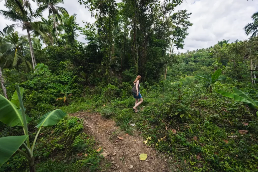
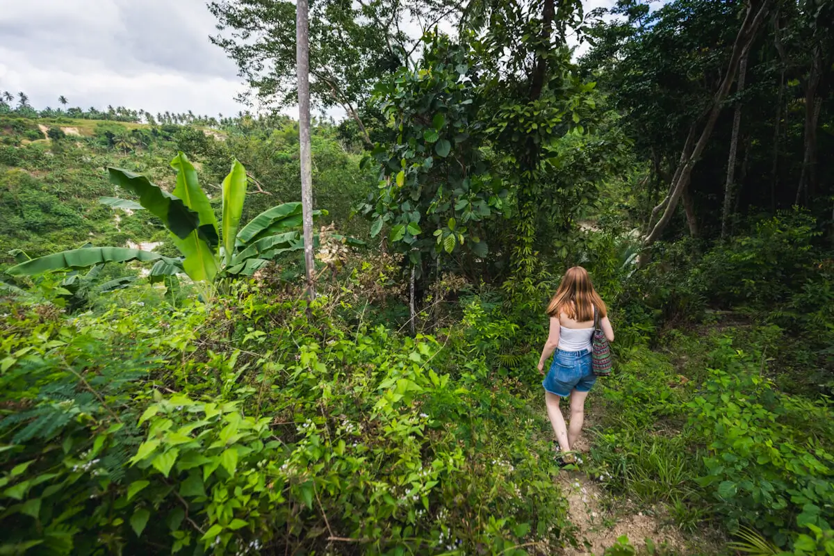
The walk to the falls (at least the route I pieced together) is very pastoral, and features some lovely views from an open high point that looks out on the surrounding highlands of Cebu. There isn’t too much shade though.
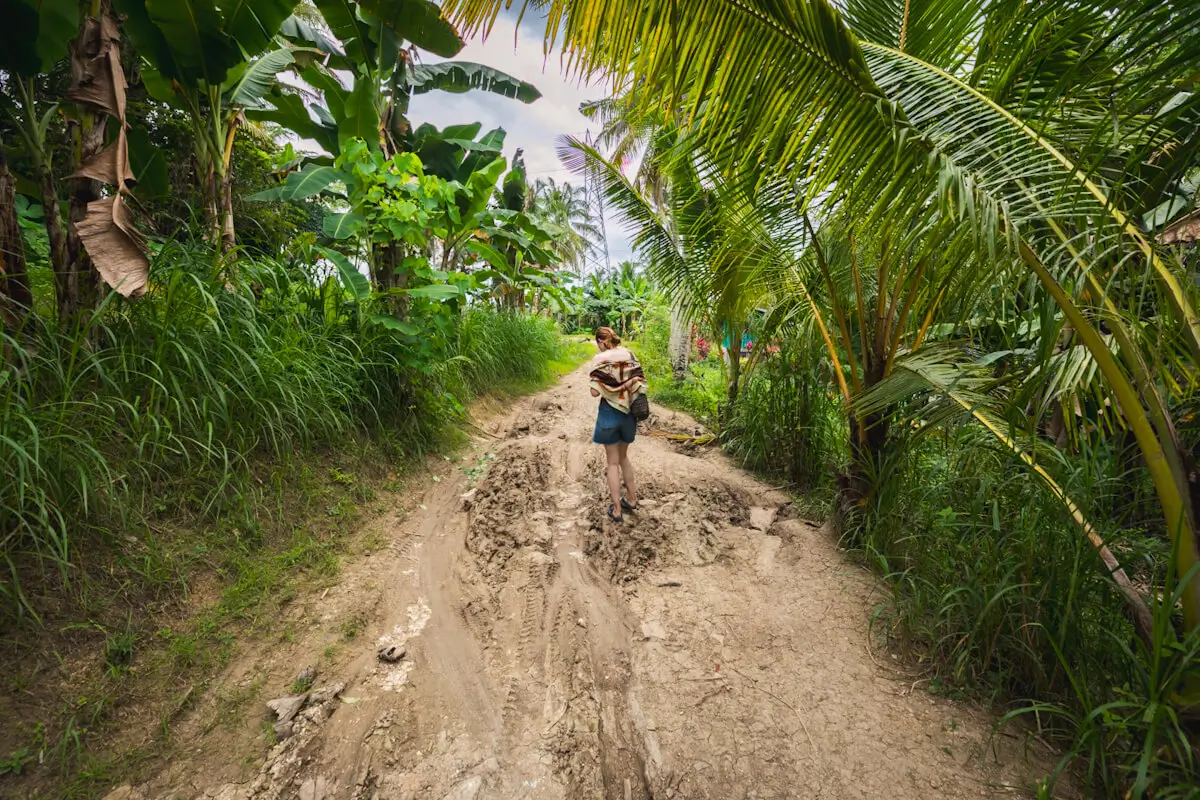
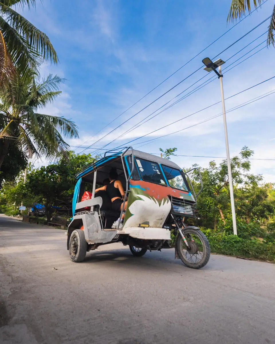
If you’re heading to Cambanog Falls from Moalboal, the drive is incredibly scenic and the views of Cebu’s highland countryside are breathtaking. Depending on at what point along the road you choose to hop off your bike and begin walking, the hike to Cambanog Falls is not very long, and took us about 30 minutes each way. There isn’t really a swimming hole directly at the base of the falls, but downstream a tiny bit there are quite a few spots you could get wet.
Cambanog Falls Entrance + Guide Fees
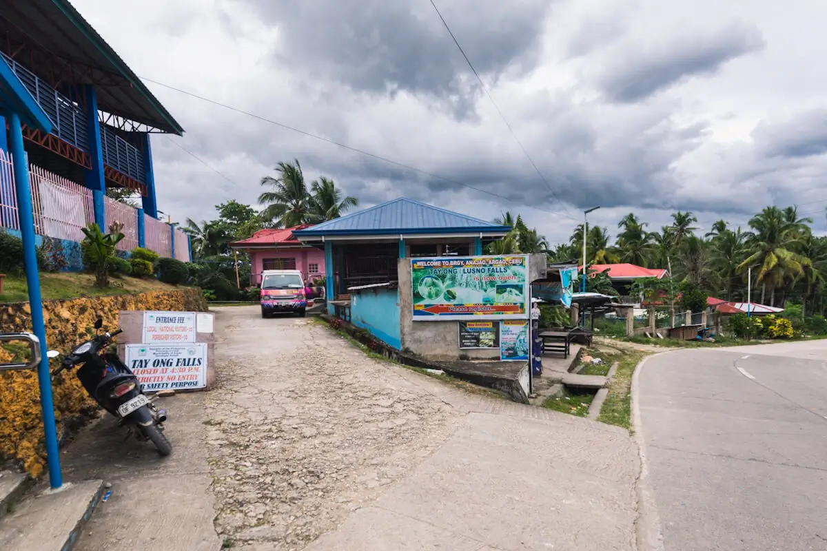
Cambanog Falls technically has no entrance fee, though since we’re using the same starting point as Lusno Falls, you will have to pay the 50 PHP entrance fee for that. Just another reason to hit up both waterfalls on the same trip. There is no parking fee, at least not where we parked.
Cambanog Falls is completely undeveloped and uncommercialized, and there isn’t any signage anywhere for this hidden local waterfall. As such there are no official guide operations. That said, I know there is at least one local guiding people to the falls, because he approached us after we had already visited. How to find him or contact him? No idea, but if you’re interested probably your best bet would be to ask the man taking the entrance fees.
How to Get to Cambanog Falls
Cambanog Falls is located in the highlands of Cebu, northeast of Moalboal. Unlike the more famous waterfalls south of Moalboal, which are closer to the coast, Cambanog (and Lusno) feel a little more in-the-middle-of-nowhere. For this reason they both see far fewer visitors.
If you’re staying on Cebu and planning on exploring all the waterfalls and beaches located in the south half of the island, Moalboal is the best place to base yourself. It’s easy to get there from Cebu City by bus or private transfer, and the town has plenty of restaurants, hotels, and activities.
Cambanog Falls is located an 20 km from Moalboal, and while Google Maps suggests it should take about forty minutes, it was more like an hour for us. The mountain road was windy and unfamiliar (though incredibly scenic) and I probably drove slower than the locals do.
From Moalboal, follow the Santander – Barili – Toledo Road north. After about 7.5 km you’ll reach Ronda, where the highway turns to the left. At this crossroads you’ll continue straight onto Ylala Road. From here you go straight for 15 km, following the windy road up into the highlands. It’s obvious that the waterfall isn’t a super popular destination among foreign tourists, because plenty of locals along the road will wave and greet you. Immediately after passing the Anajao Barangay Hall, you’ll see the sign for the turnoff for Lusno Falls, and likely the man collecting entrance fees. Continue straight down this road until nearly the end, or as far as you’re comfortable driving, before pulling off to the side.
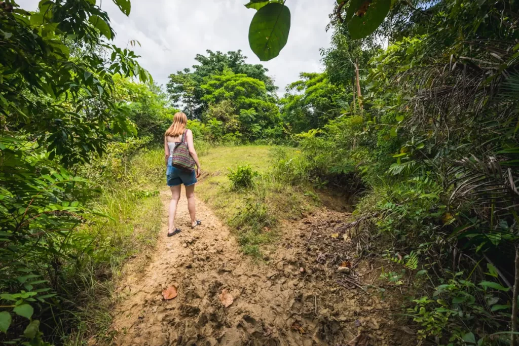
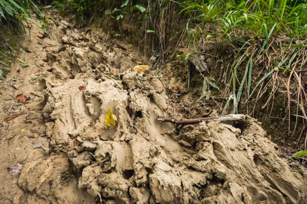
Up until you turn off after the Barangay Hall, the road is concrete and easy to ride on, though there are lots of quick turns as it ascends up into the mountains. You’ll want to drive slowly anyway though, because the pastoral views from up here are fantastic. Once you turn off onto the final road for the waterfalls, you’ll quickly wind up riding on rocks and then dirt, potentially mud. Fortunately at this point you can pull off and begin your walk at any time.

Tips for Visiting Cambanog Falls
Practice Leave No Trace principles by carrying out all your garbage and avoiding any actions that could harm the environment like leaving graffiti. That’s just trashy and gross.
As a visitor, you are responsible for helping to protect Cambanog Falls. Showing care for preserving natural attractions helps keep these sites pristine and also encourages locals to prioritize sustainable practices. Always pay entrance and guide fees—these often fund local conservation and create jobs for the local community. Go a step further by giving an additional donation, explicitly stating that it’s for conservation. Even a small amount that might not be significant to you can mean a lot to the locals. Asking how fees or donations are used for preservation shows locals that tourists value these efforts and motivates them to continue protecting the area.
Locals try to give you what they think you want in order to earn a living from tourism, and they will happily cut down trees, exterminate wildlife, pour concrete, and build trashy overpriced restaurants when they think that’s what tourists want most. You can reshape this perception—show through your words and spending that you value the natural beauty and authenticity of the area over commercialization.
When to Visit Cambanog Falls
The best time to visit Cambanog Falls is during the dry season, which lasts from December to May. This period offers warm, sunny weather with fewer rainy days, making it ideal for outdoor activities and exploring the island. If you want to see the waterfall at its peak though, it’s best to visit at the start of the dry season, when it’s still benefitting from the past six months’ worth of rain.
Year-round, temperatures in the area stay consistently warm, typically around 25°C to 32°C, so you can expect a tropical climate no matter when you visit. If you plan to travel outside the dry season, be ready for moderate but steady rainfall and pack some rain gear to stay comfortable during your trip.
Cambanog Falls is so off-the-beaten-track that I would eschew my normal advice to visit in the morning in order to avoid people. Chances are no matter what time of day you visit you’re likely to have it all to yourself.
Where to Stay